About This Service
What we deliver
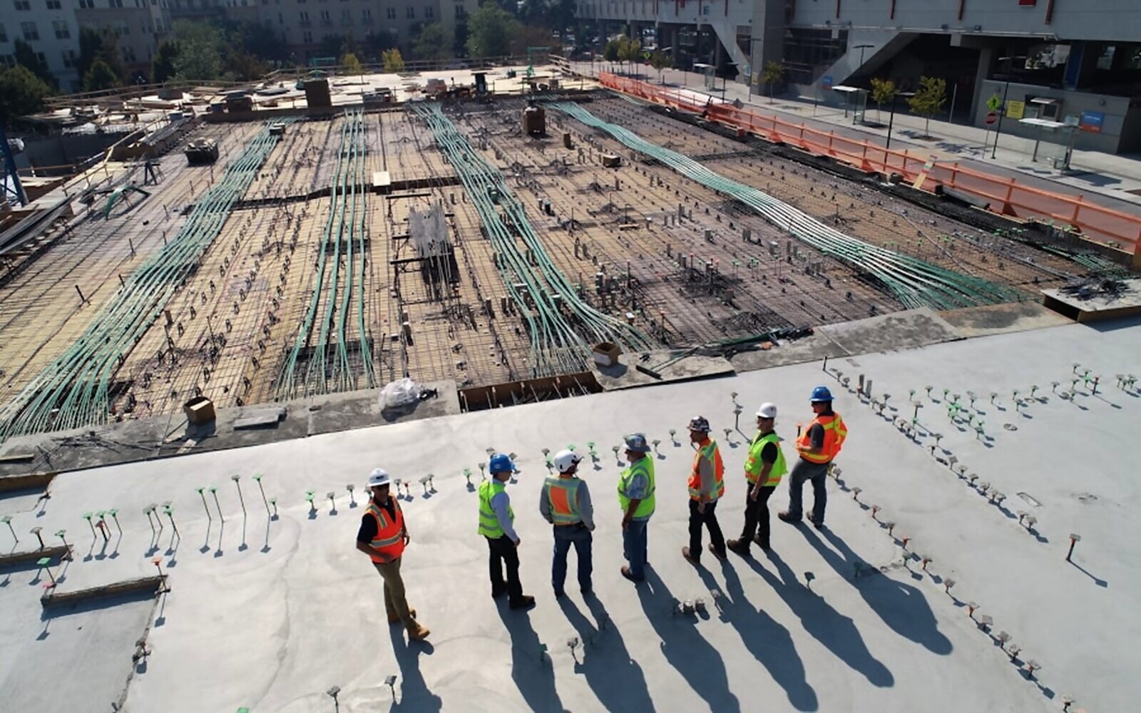
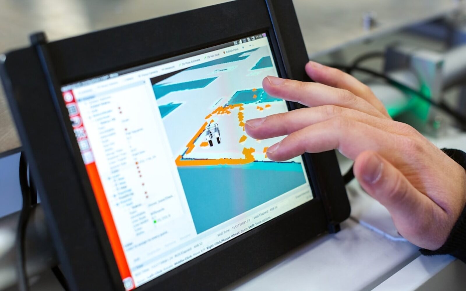
Professional topographical surveys provide accurate measurements, levels, contours and existing site conditions. This data is essential for precise planning and design of residential, commercial and industrial projects and helps avoid costly errors during construction.
Key highlights
- Accurate site measurements & levels
- Contours & existing conditions
- Topographical data for design
- Support for residential & commercial sites